
Weather and climate modelling
We help you understand how weather and climate risks affect your specific location, operation or asset, then build bespoke models, dashboards and forecasts to support better decisions.
We help organisations turn complex environmental data into practical tools, dashboards and decision-support systems.
Partners we've worked with






We combine hydrology, geology, environmental science, GIS and remote sensing with deep data, AI, ML, and software expertise.
We help you understand how weather and climate risks affect your specific location, operation or asset, then build bespoke models, dashboards and forecasts to support better decisions.
Design and build dashboards, data systems and decision-support tools that bring complex environmental and operational data into one clear place.
We build bespoke water models for your catchment, assets and water use, combining river flow, groundwater, rainfall, soil moisture and licence data to support better planning and operational decisions.
We provide specialist support from hydrologists, weather specialists, environmental scientists and technical experts, helping you scope problems, review evidence and make better decisions.
Turn spatial, satellite and monitoring data into practical insight for farms, catchments, assets and environmental projects.
We design and deliver applied research, training and stakeholder engagement for international weather, water and climate projects, helping turn technical science into practical guidance, policy insight and decision-support tools.
Section 1
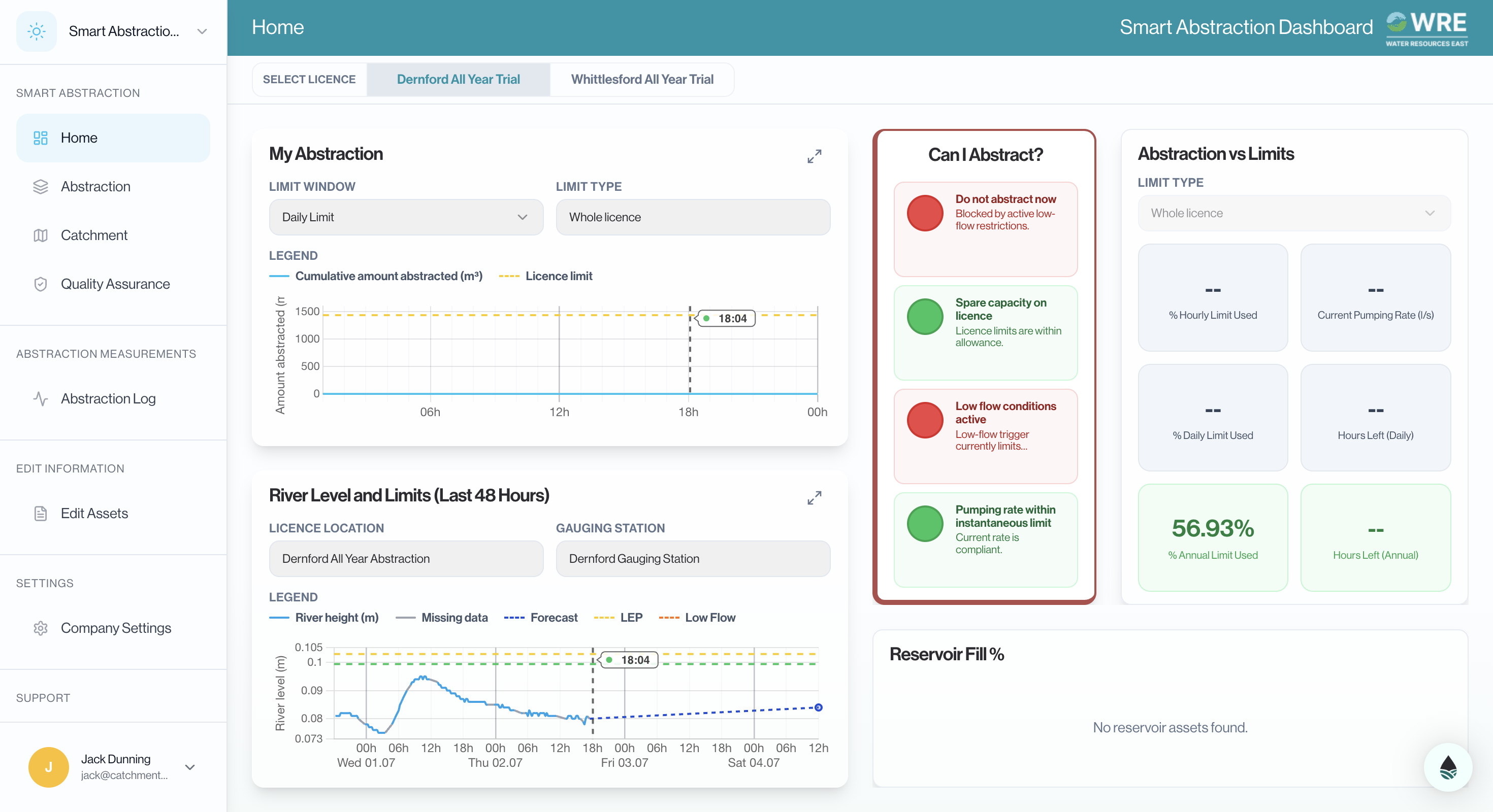
We built a live abstraction-management dashboard for Water Resources East and the Environment Agency, bringing river flows, sensor telemetry, licence data, forecasts, and alerts into one platform to support smarter water sharing in the Upper Cam Catchment.
Initial trials received positive feedback from project partners and led to an extended next phase, expanding the dashboard’s capabilities and use across different catchments.

We are building a farm dashboard that brings live water and energy data into one place, helping managers monitor supply, demand and short-term forecasts to reduce costs and improve resource efficiency.
Section 2
We lead the innovation plan for the design of the UK’s £38m Floods and Droughts Research Infrastructure by researching user priorities and recommending how future observatories, data platforms and research tools can deliver sustained value.

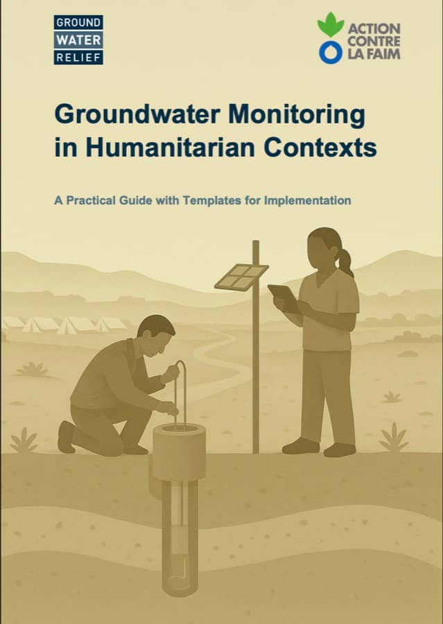
With Groundwater Relief and Action Against Hunger, we helped translate technical groundwater monitoring practice into clear guidance for humanitarian teams working in data-scarce contexts.
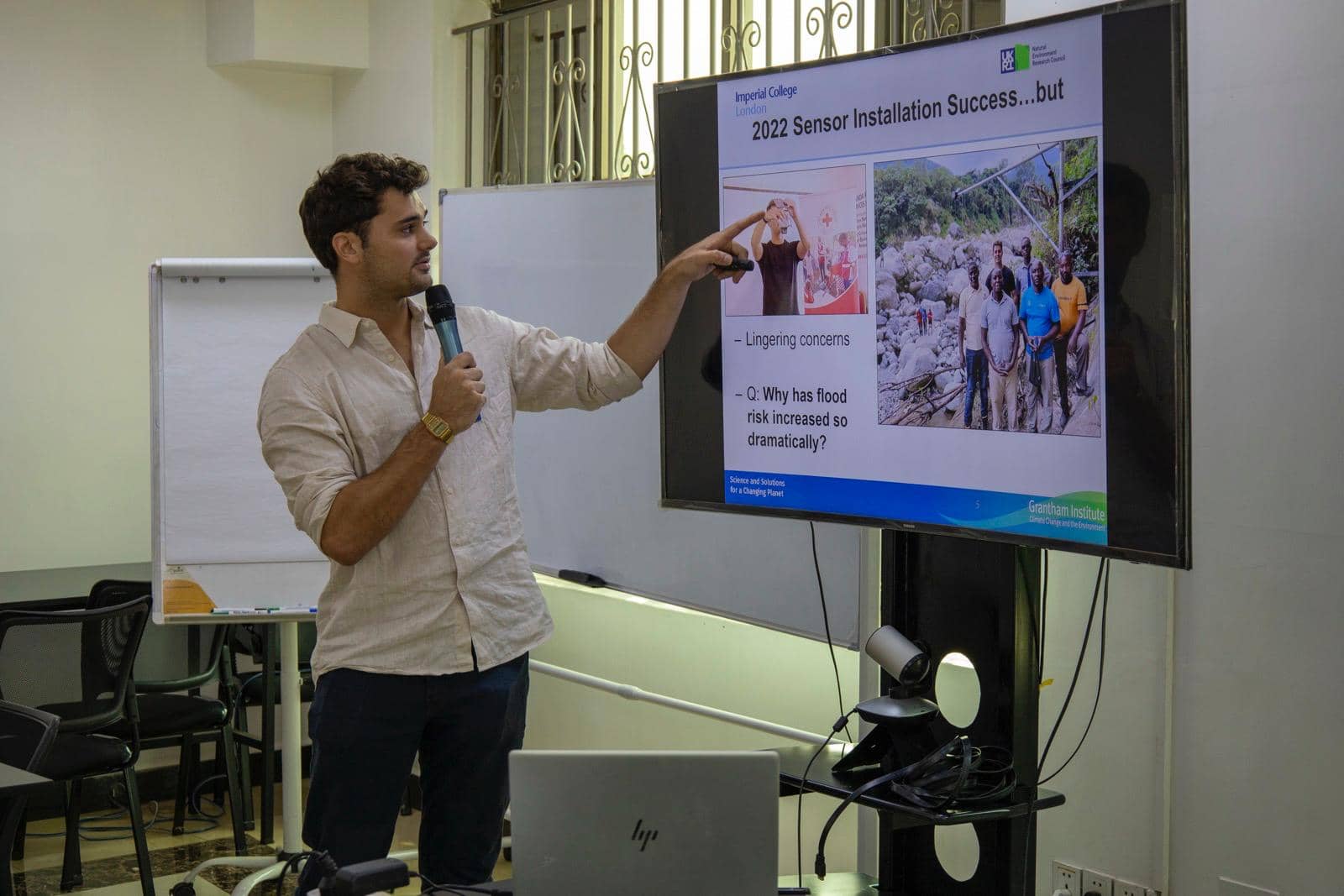
We led climate finance training for 120 university teachers across more than 20 universities in Islamabad, KP and Punjab, helping academics bring climate finance into teaching, research and project development.

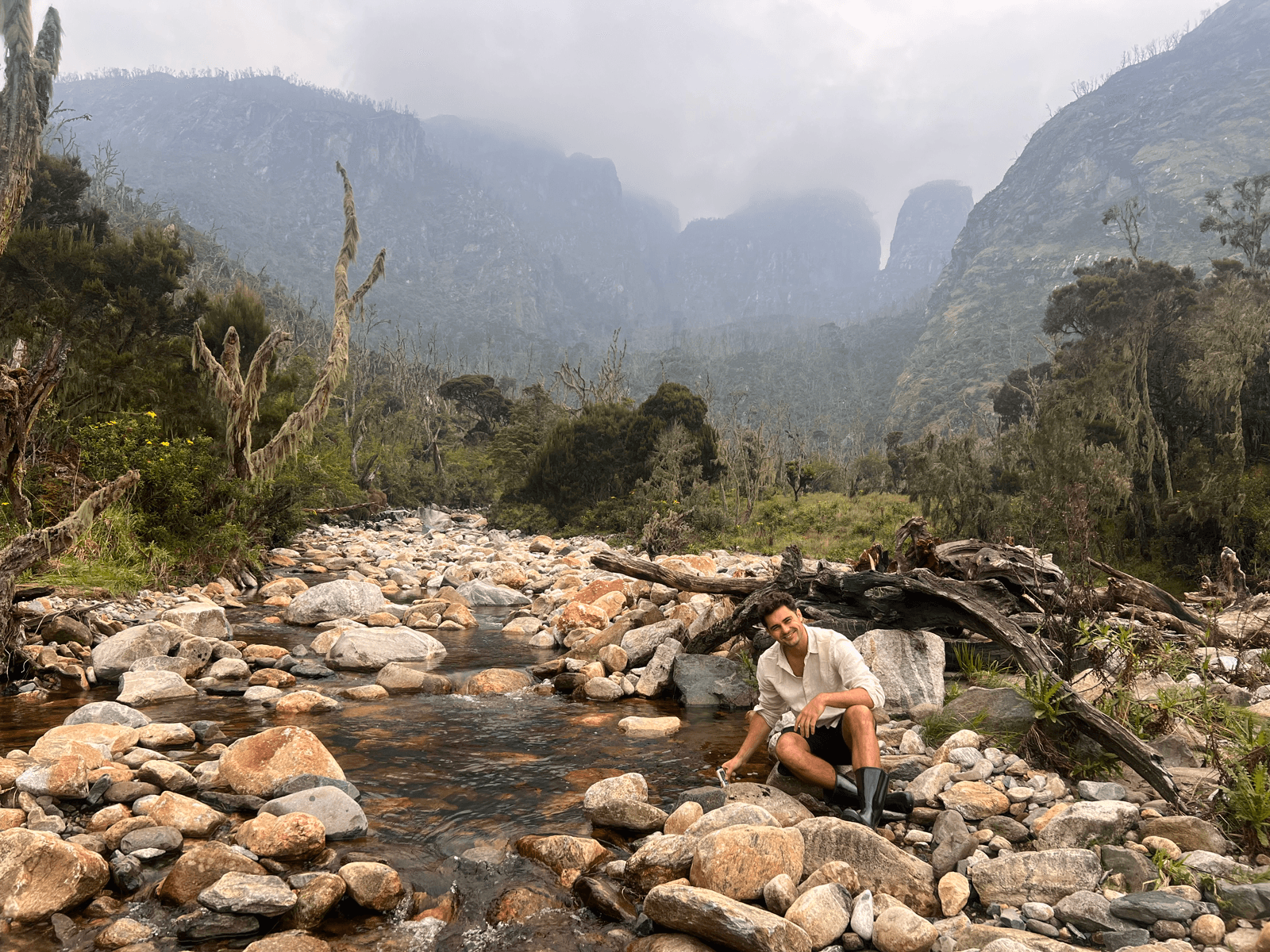
We investigated how land-use change, wildfire and catchment degradation can amplify flood and sediment risk, helping explain why severe impacts can occur even when rainfall itself is not extreme.
01
We start by speaking to the people involved, from project leads to end users, to understand why the work matters, what different stakeholders need and what success looks like for each party.
02
We review the available data streams, gaps, limitations and technical requirements, from forecasts and sensors to GIS, remote sensing and hydrological datasets.
03
We bring together stakeholder needs, success criteria, data availability and technical constraints to define the right product, workflow and build plan.
04
We build the tool, dashboard, model or report, then work with your team to test it, improve it and make sure it is useful in practice.
We can help shape the problem, understand the data and turn it into something your team can use in practice.

